Founded in 2012, Geospatial Insight derives business intelligence from the analysis of satellite, aerial and drone imagery to support the insurance, finance and utilities sectors.
Revolutionising these markets through remote sensing, detecting, scoping and quantifying data, they are pioneers in visual intelligence, fusing their unparalleled access to global imagery with game-changing AI algorithms.
With access to over 350 satellites currently in orbit and a huge network of drone and aerial survey pilots on standby, Geospatial Insight provides a truly global service. The visual intelligence products that Geospatial Insight provides allows clients to reduce costs, increase their competitive advantage and make more informed decisions.
Within the insurance sector Geospatial Insight offer two key services; PropertyView and (Re)Act. Together, these provide property-by-property risk analysis and rapid claims evaluations to enhance traditional insurance data collection and assessment methods.
Valuable insights can be produced in seconds, not hours, and without the need to carry out site visits, ultimately leading to quicker and more cost-effective risk pricing and settlement claims for clients.
Independent research and time-series datasets can provide clients with new opportunities and insights in financial markets. Tankwatch and RetailWatch are two of the main products in Geospatial Insight’s financial portfolio, which provide evidence-based, predictive analytics to help understand and forecast likely changes in the value of a traded asset.
These particular products provide data of crude oil storage changes and parking rates, as a proxy for footfall at all major European retailers, but Geospatial Insight can monitor and analyse a range of financial variables to support equity and commodity trading.

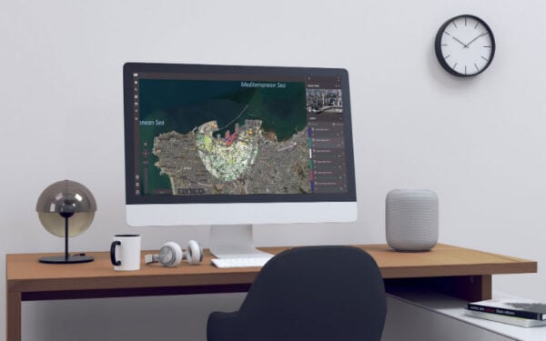
Designed and developed in-house, Geospatial Insight also have their own cloud-based visualisation dashboard, VIP. This platform allows the user to integrate data from different sources and use advanced analytical tools to deliver spatial business intelligence.
Built around an architecture that allows the rapid development of new functionality and applications, VIP has been applied in many areas, including real-time routing, pollution monitoring, power grid analysis and rapid disaster response.
With its intuitive dashboard and configurable interface, the platform is ideal for organisations who needs to visualise and interact with content both at the desk and in the field and securely share their insights. VIP is especially adept at handling drone imagery because of its video analysis and drone telemetry synchronisation.

Geospatial Insight is also a Hexagon Geospatial Premier Partner, delivering sales, training and support for the Hexagon Geospatial product portfolios. The Hexagon Power Portfolio, along with Hexagon M.App Portfolio, provide leading edge technologies that enable users to envision, experience and communicate location intelligence using techniques including advanced photogrammetry, remote sensing, and GIS to transform raw geospatial data into useable information.
Many stakeholders in the various sectors are already utilising Geospatial Insight’s services, having experienced significant improvements in their capabilities to monitor, analyse and respond to risk, they are capable of meeting the ever-changing challenges within the industry whilst maximising customer satisfaction and revenue.
For more information about Geospatial Insight visit: www.geospatial-insight.com/

